Hello Maptime Detroit
www.maptime.io
SEMCOG
- Southeast
- Michigan
- Council of
- Governments
(it's a planning organization)
(and a membership organization)
 Non
Non
Motorized
Plan
(in case you want to get around without a motor)
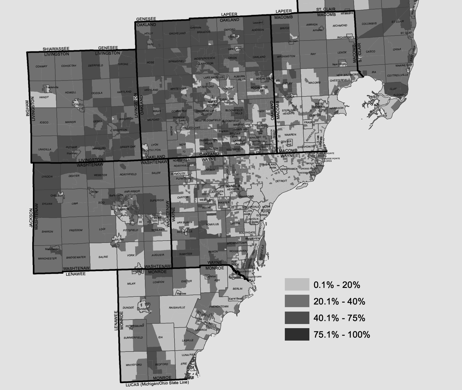
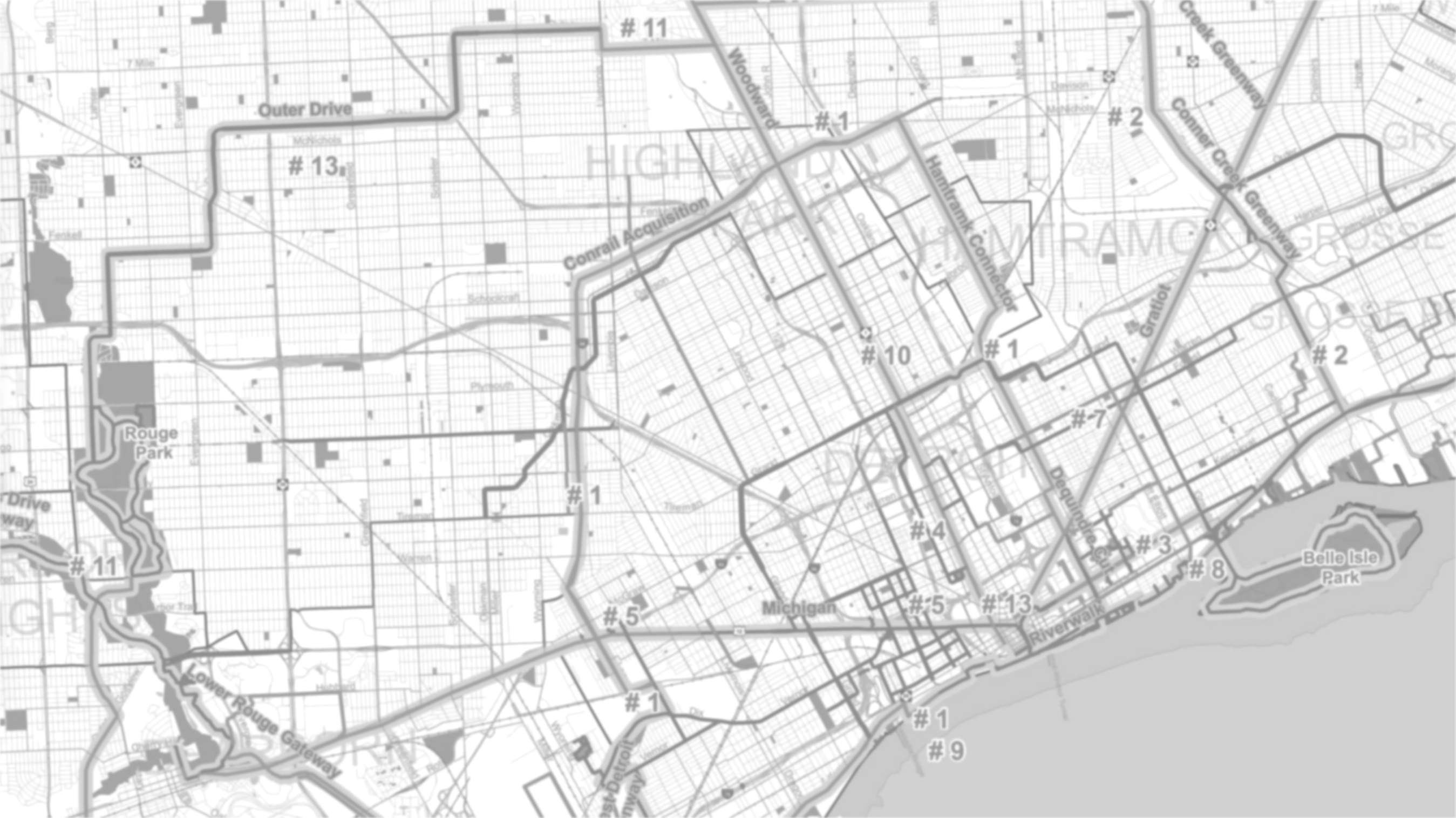
Green Infrastructure Vision
studying
accessibility:
- accessibility != mobility
- using a regional transit network!
- kicks off later this year
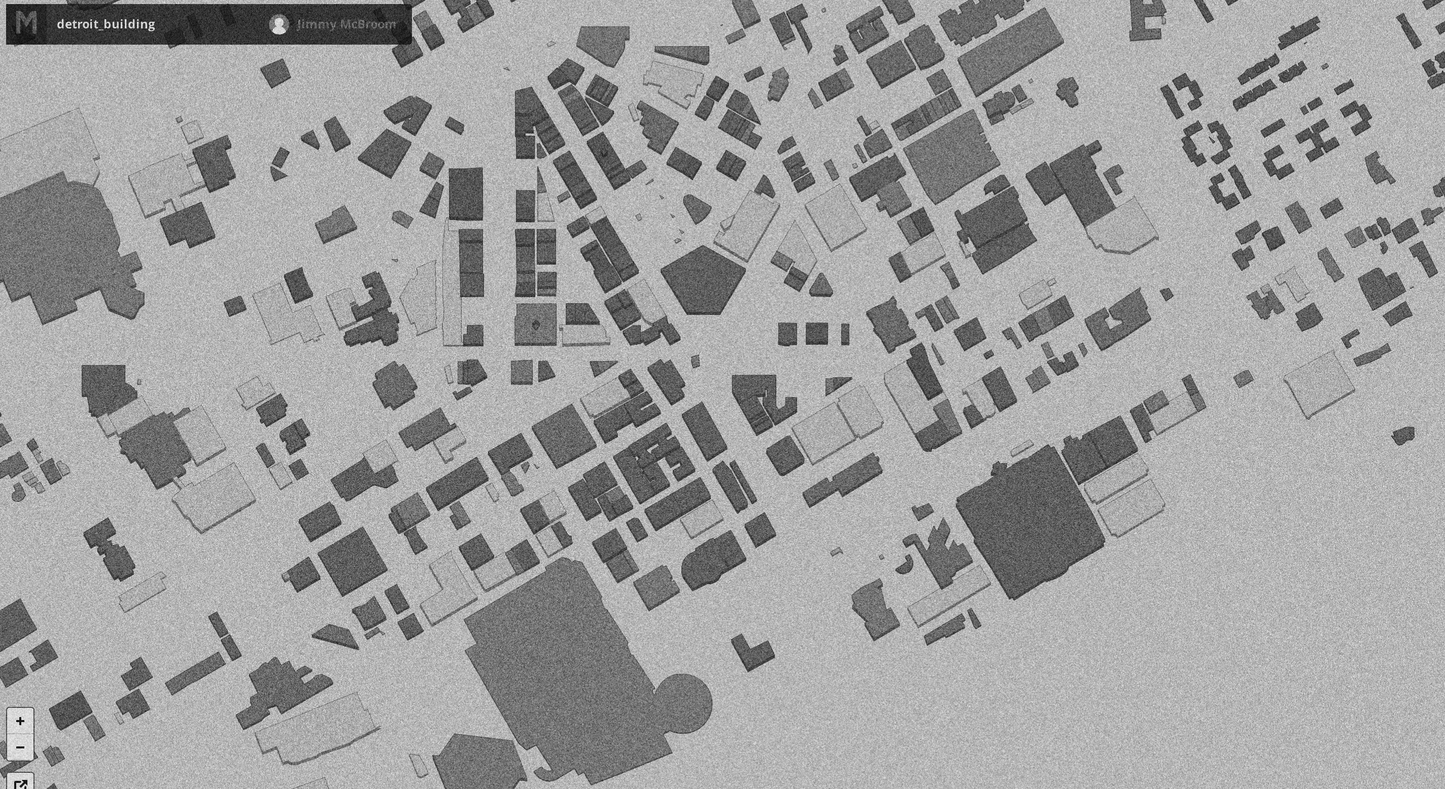
building
footprints
what to do with all this
data?
- analysis (tedious but necessary)
- visualization (interactive and exciting!)
using several programming
languages:
- python (easy & pretty!)
- html+css (just as easy, not as pretty!)
- javascript (super useful for the web)
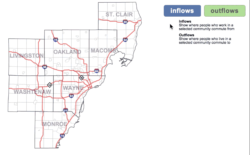
where do
we travel
for work?
Ask me about
SEMCOG's
vector datasets
- regional (7 counties)
- administrative
- transportation
- land use
- infrastructure
- environmental
historical
aerial imagery
- source:DTE
- varying quality
- first year 1949
- every few years afterwards
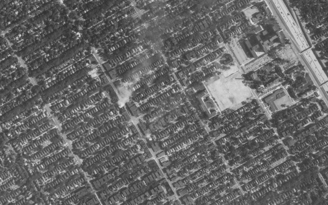
1967
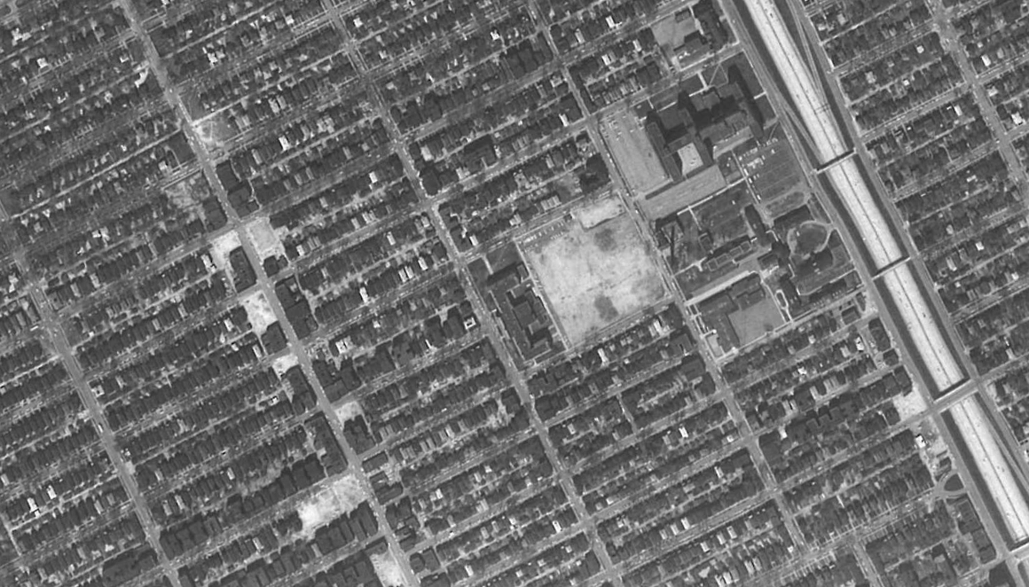
1970
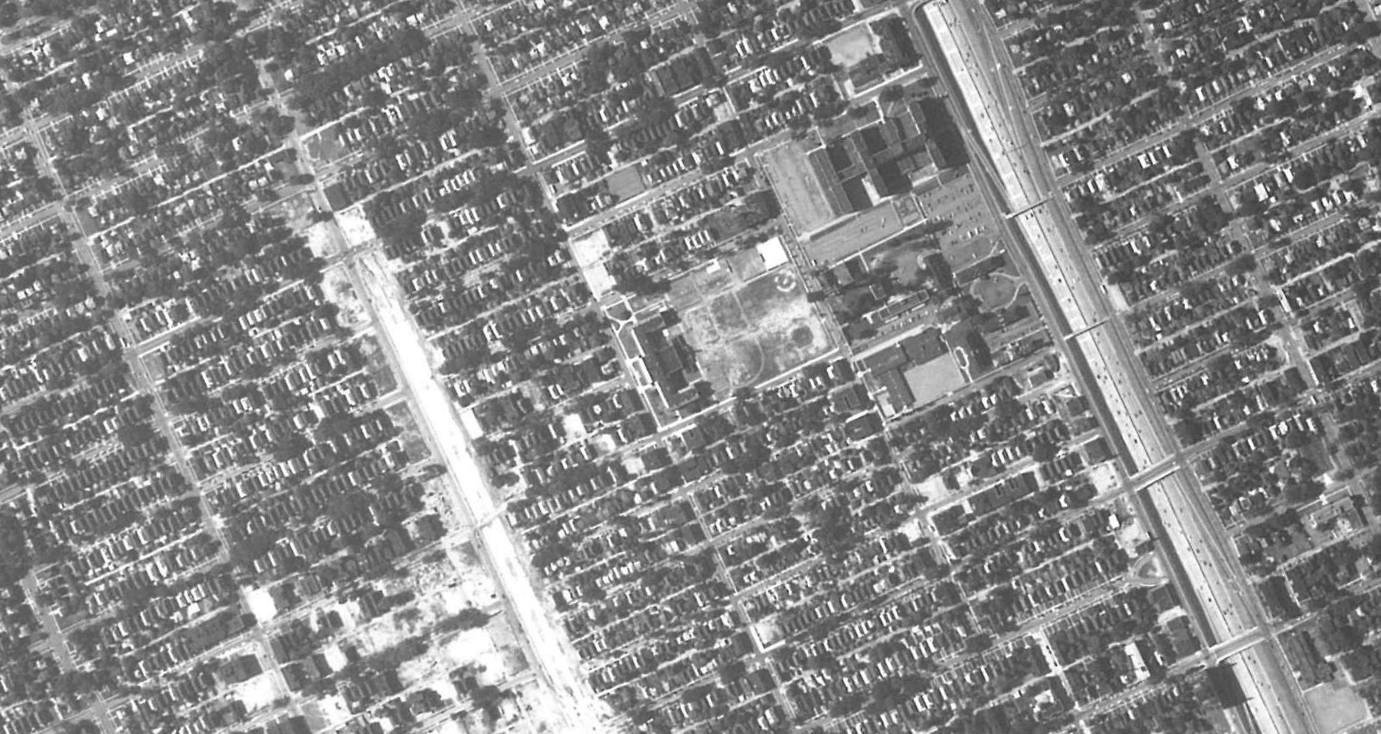
1975
here's 3 other cool map-related things!
CartoDB
&
Mapbox
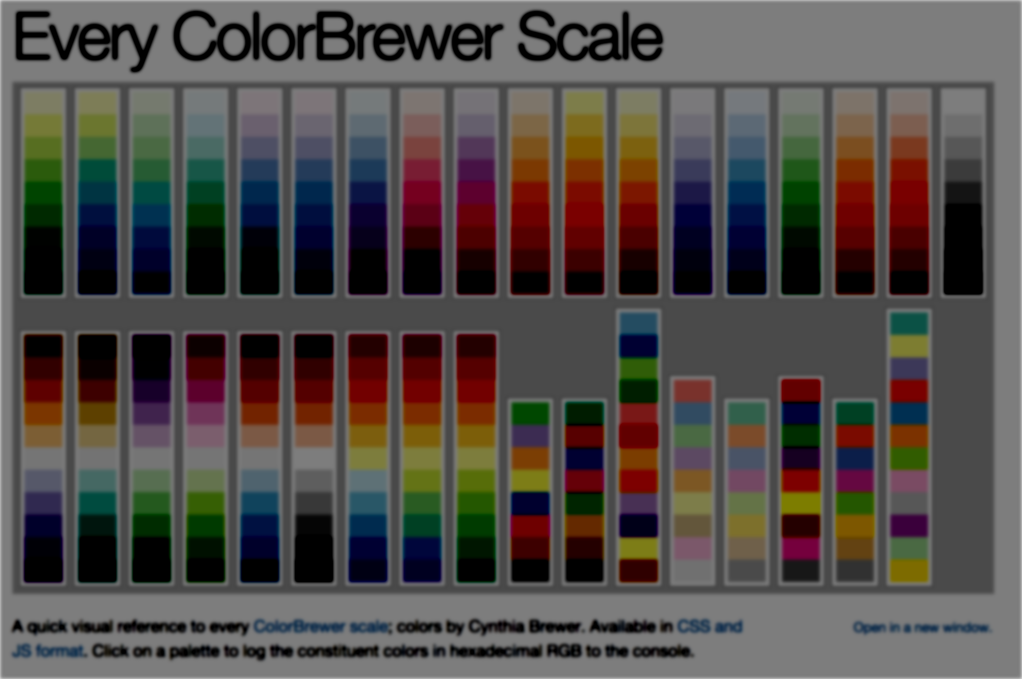 ColorBrewer2.org
Two
(possibly crazy) proposals!
 Pedestrian
>>>>>>
network?! Let's do it.
Q: Can we use historical aerials to fill in a detailed structure history? (along with other sources)
A: I think so!
Thanks to you for coming, and to Alex, CDAD, & all the presenters for making
Maptime happen!
questions, comments, map geekery?
find me at
- twitter: @jr_m_
- james.mcbroom@gmail.com